|
June 22, 2018
|
Artificial Reefs, Beach Restoration, and Sea Turtle Nesting in Martin County, Florida (Second Edition)
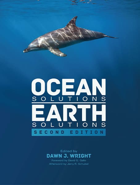
CMar Consulting, LLC Owner and President Dr. Alexandra Carvalho, is pleased to announce the publication of the second edition of a paper she authored which appears as Chapter 3 within the peer-reviewed ESRI Press book Ocean Solutions, Earth Solutions 2nd Ed., The second edition of the book, includes an updated chapter which adds further detail to the County's Artificial Reef Program.
Artificial Reefs, Beach Restoration, and Sea Turtle Nesting in Martin County, Florida portrays the strategy and efforts taken to consolidate and organize the Department's historical and current coastal engineering and environmental project data; illustrates the desktop planning tools created to help County managers to quickly access the information and manage their programs and projects; shows examples of the web based tools created to share information with the public and stakeholders.
|
| |
|
| |
|
|
July 10, 2015
|
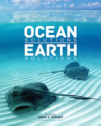
Artificial Reefs, Beach Restoration, and Sea Turtle Nesting in Martin County, Florida
CMar Consulting, LLC Owner and Principal Dr. Alexandra Carvalho, is pleased to announce the publication of a paper she authored which appears as Chapter 3 within the peer-reviewed ESRI Press book Ocean Solutions, Earth Solutions, The paper describes the implementation of the Martin County Coastal Engineering Department Coastal GIS Program. Dr. Carvalho's co-authors include Kathy Fitzpatrick, County Coastal Engineer, Jessica Garland, County Project Manager and Frank Veldhuis, County IT Department.
The paper also includes two case studies: the Artificial Reef Program and the Hutchinson Island Shore Protection Project, one of the County's beach restoration projects.Digital content complements the case studies and includes: a Story Map for the Hutchinson Island Shore Protection project, links to a live map for Artificial Reef Program and ArcGIS data and project files and schema.
|
|
|
|
|
|
September 12, 2014
|
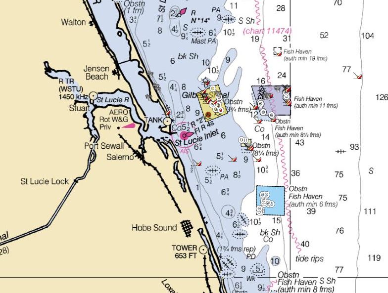
ArcGIS Online Martin County Artificial Reef Map
Martin County, Florida Engineering Department launched its new location map on September 9, 2014. The map shows the reef location, depth, distance from the St. Lucie Inlet, underwater reef photos and the most recent monitoring report, which lists the species of fish found in the reefs that year. The County will update the photos and add new reefs as they are constructed. We were happy to help the County with the application and hope it brings more awareness to the Martin County Artificial Reef Program and its public outreach efforts.
|
|
|
|
|
|
|
|
|
 |
|